Cityside Park ↗
Start with the part of the park you would actually use, then walk the connection from the home. Notice entrances, grade and places to pause along the way.
Find it on a map ↗Parks, bike rides and time outside are what I notice first in Yerba Buena Island. I’d start with Cityside Park and Panorama Park, then test the island’s paths and mainland connections as part of a real daily routine.
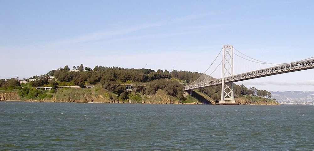
Yerba Buena Island is its own island setting, separate from the mainland and from Treasure Island. The exact property’s ownership, site and access arrangements should drive the comparison.
Review project and association documents, environmental information and the real mainland trip before assigning value to an island outlook.
Use recent sales of properties with a comparable ownership structure, legal size, condition and setting. A condominium, a TIC interest and a whole building should not be priced from one blended neighborhood number.
A dedicated market report is not currently published for this mapped area. Explore the available neighborhood reports, keeping their named geography and observation dates in view.
Parks, bike rides and time outside are what I notice first in Yerba Buena Island. I’d start with Cityside Park and Panorama Park, then test the island’s paths and mainland connections as part of a real daily routine.
Start with the part of the park you would actually use, then walk the connection from the home. Notice entrances, grade and places to pause along the way.
Find it on a map ↗Start with the part of the park you would actually use, then walk the connection from the home. Notice entrances, grade and places to pause along the way.
Find it on a map ↗The city describes multi-use pathways connecting the landing, Yerba Buena Island and Cityside Park. Check mainland transport separately.
Test the connecting streets, hills and bike storage as part of the property visit.
These are outdoor destinations to explore around the area, not measured door-to-door routes. SFMTA’s bike map distinguishes lanes, routes and paths. Slow Streets are shared streets with local vehicle access.
The atlas uses DataSF’s SF Find Neighborhoods, which names this area “Yerba Buena Island.” These are general neighborhood locations. Listing descriptions, residents and market-data providers can use different names or boundaries. Confirm the address and parcel rather than infer property rights from a map label.
Share your property type, budget, timing and daily destinations. The next step is to compare the actual addresses, documents and ownership costs that matter to your decision.
Discuss Yerba Buena Island ↗A home, a sale, or an investment. Start with your goals.